Canada’s geography is amazing. We have such a variety in the landscape from the east coast to the west coast and then up north. We have a mishmash of cultures and peoples. We have huge empty areas of land and large cities filled with people. Everything about Canada is diversity. In this post, we are going to examine some different areas of Canadian geography and look at some ideas on how to teach our kids more about the country that they live in.

Often people think about maps and landscape when they consider geography, but it’s actually much more than that. There are two main branches in the study of the earth: Physical and Human Geography. There are also many sub-branches, which includes areas such as cartography, meteorology, urban development, tourism, and more. As homeschoolers, how can we teach all of this to our children in ways that invite curiosity?
This Post Contains Affiliate Links.
Why Study Canadian Geography?
Since geography is the study of the world, it’s really important for us to make sure we include it as part of our learning with our kids. Here are some reasons why:
- It helps to understand how Canada fits in with the world.
- It gives an appreciation for why some areas are unpopulated while others are very urban – and why cities and towns are built the way they are.
- It creates an opportunity to learn more about your community and region of the country, and to see how it differs from other areas of the country / world.
- It interconnects with teaching Canadian history – and understanding how and why people of the past settled where they did, and behaved as they did.
- It helps to create awareness in being a good citizen.
Scope & Sequence of Canadian Geography
The Canadian Council for Geographic Education has put together a scope & sequence plan for students across Canada for Kindergarten through Grade 12, divided into 6 essential elements:
- The World in Spatial Terms
- Places & Regions
- Physical Systems
- Human Systems
- Environment & Society
- The Uses of Geography
Ideally, you want to start your learning experiences as close to your child as possible – with your community and neighbourhood, and then start moving out to bigger concepts like provinces, countries, and the globe – adding more complex ideas and subjects such as being a responsible citizen, the environment, how history and geography are tied together, and more complicated topics of earth sciences.

Below are some ideas for teaching geography at various general age / grade ranges. Keep in mind that these are just suggestions.
For the very young learner (Kindergarten / Grade One), understanding their local community and how they fit into the bigger picture is a great place to start.
- Me on the Map – Read the book Me on the Map together. Although it is American, it still shows the experience of starting from you and zooming out to the whole world. You can follow this up with a craft with incrementally sized circles where kids draw the different areas: my house, my street, my city, my province, my country, my world. Find a Canadian version of this as a printable on my website under the geography section!
- My Community – Discovering more about your community is perfect for these early years. What jobs that your children can see in the community (police, firefighters, mayor, mechanics, bus drivers, cashiers, librarians, teachers, etc) and why are they important? What buildings and business are in your community (fire stations, grocery stores, schools, hospitals, restaurants, etc) and why are they part of the community?
- Walk around your neighbourhood or city centre and draw sketches of what you observe.
- Take the bus or a different-than-usual mode of transportation around your town.
- Chat with different people in the community about their job.
- If you live in an urban area, try to visit somewhere rural. If you live in a rural area, try to visit an urban area. Compare what is the same and what is different in these communities.
- Some Resources:
- Our Community by Apple Press.
- Early Mapping Skills – Learning about maps is important. This stage is about learning to read symbols on a map, understanding legends, basic compass understanding of North, East, South, & West, land and water, etc.
- Make a map of your community – either drawing on paper, or making 3D models or some other creative way.
- Mark the compass points on 4 walls and play a game where the adult calls out a direction and the kids have to run to that wall.
- Do some mapping worksheets – like this excellent one from Teachers Pay Teachers: Maps & Globes or in the book My Very First Primary Map Book by Apple Press.
For later primary grades (Grade 2 & 3), it’s a good time to have an introduction to Canada as a country.
- Get a good, large Canada map and put it on the wall or on your table under clear plastic or glass. Reference it often, and look for important places in your life – like where you live, where other family members live, places that you’ve travelled, etc.
- Exchange postcards from people in other provinces & territories and mark down on the map where they came from.
- Play hands-on geography games & puzzles – like my Geography Matching Game or a map of Canada puzzle.
- Make your own map – some people like to use salt dough to make their map and then add in the physical features. Other people like to draw their own maps. You can make a map from LEGO or on Minecraft – whatever is going to work for your studies and personal interests.
- Play online games of Canadian Geography, such as The Provinces and Territories of Canada, Canada Cities, or Canada Province Capitals on Seterra
- Use technology like Google Earth to explore around the country.
- Use a program like The Great Canadian Adventure’s Tiny Travellers to introduce provinces and cultures across the country.
- Watch travel guide videos of people in various Canadian places and cities or look through travel guides of Canada (like The Lonely Planet).
- Keep developing mapping skills – in particular recognizing provinces and their capitals and other important cities, learning to read distances, and expanding on the map skills learned so far.
- Resource: Map of Canada Book 1
- This is the perfect age range for Donna Ward’s Canada, My Country curriculum – which is an introduction through Canadiana and both physical and political geography of the country.
In the elementary grades (such as grade 4 & 5), you can start to explore more about the world and how Canada fits into it.
- Get a great map of the world and put it on the wall or on your table under clear plastic or glass. Reference it often, and look for countries that are important to your family: places you’ve visited or have family.
- Exchange postcards with people around the world and mark down on the map where they came from.
- Print out the continents of the world and play a game where you have to name the continent and where it is on the world map. Make sure to include positions and names of the oceans as well.
- Take a trip around the world and “visit” other countries to learn more about them. Find out important features, traditions, peoples, history, landmarks, and other fun things about each country. Make sure to find them on the world map, explore their flag and money, taste test foods, and whatever else you can find about that country. {Find out more about how to make a World Geography Adventure in your homeschool.}
- Make sure you use a pretend Canadian passport while you go exploring. Discover how different countries accept (or don’t!) visitors from Canada.
- Play some world map geography games on Seterra or Sheppard Software.
- If there are related cultural events near you for different countries, go and visit in person.
- Read some great books about Canadian geography.
Check out the Canadian company: World in a Box for a monthly world exploration subscription.
The middle school years (Grade 6 – 8) are a good time to focus more in-depth on Canada- such as its physical regions, populations, cultures, and tying it together with some of the Canadian history that you’ve studied over the years. This is also the time to master mapping skills such as learning to reference an atlas and road maps, and an introduction to more geographical terminology.
- Get a quality Canadian atlas that includes detailed information about each province, including their population and industrial details – such as the Collins Canadian Student Atlas.
- This is a perfect age range for Donna Ward’s Geography: Province to Province curriculum, which studies Canada in-depth.
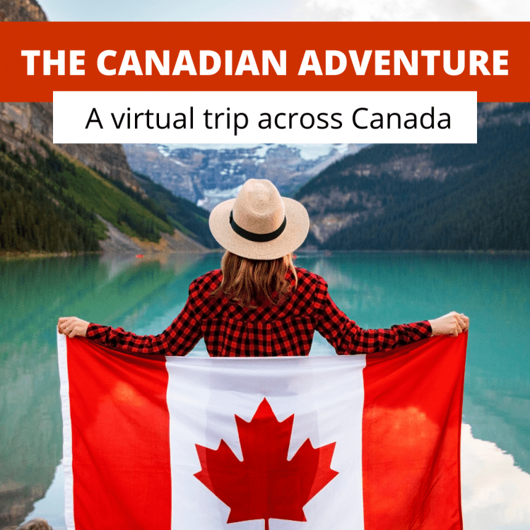
- Take a virtual trip across Canada with The Canadian Adventure.
- Map out important historical events that happened in Canada, such as:
- Indigenous Treaties & Tribes
- Countries included in the original Confederation
- The path that Alexander MacKenzie took to get across the country.
- The construction of the railroad expansion
- Learn when the provinces joined Canada.
- Study the different regions of Canada and what features each has. How do these features affect the people who live there – either as a benefit or a detriment?
- Explore geography terms with a wall poster (and then check out this awesome printable with definitions you can velcro to the poster!)
In high school, Canadian geography studies are focused on the interconnection between natural geography and human geography, creating a more sustainable world, and Canada’s part on a global scale. There aren’t any homeschooling specific lessons for this, but there are online and correspondence classes available.
Other Resources for Canadian Geography
- Canadian Geographic – a digital or print magazine with a website full of resources about geography, including sections for kids – games and facts.
- Canadian Geographic Education – a huge collection of geography education resources, including printable huge tile maps and lesson plans. Host of the Canadian Geographic Challenge, and information on how to use their magazine for learning.
Games:
- Canada Provinces & Territories from Seterra.
- Canada Map Puzzle.
Want to Discover More About Canada?
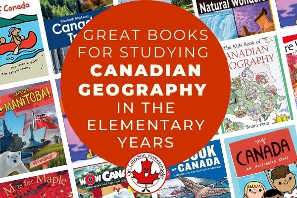
Are you looking for some great books to introduce the geography of Canada or to add onto an existing study? Read more
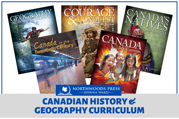
Donna Ward (Northwoods Press) is a veteran homeschool mom with lots of advice and experience. Her Canadian history and geography Read more
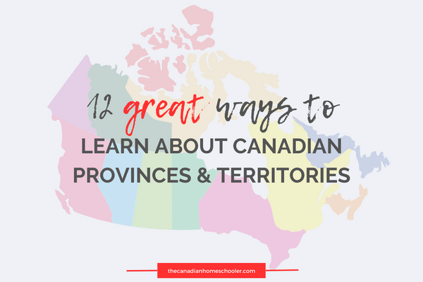
Do you want your kids to learn all about Canadian Provinces and Territories? Here we have rounded up some great Read more

Did you know that every province and territory in Canada has chosen a bird to represent themselves? Each province and Read more

- Homeschool Spelling Essentials: Ways to Make it Engaging (and Canadian!) - October 4, 2024
- 10 Simple Homeschool Organization Tips For Busy Homeschoolers - September 16, 2024
- 5 Ways Homeschoolers Can Enjoy Back to School - September 10, 2024
good layout for how and why to do Canadian Geography
I really like the resources that you have shared for teaching Canadians geography. I was wondering if I can get a copy of this article without the ads in a word or a PDF format to help me make a checklist.
Thank you.
wre intresting