If you are studying the geography of Canada, these cards can help your child discover the different provinces & territories along with basic information about each.
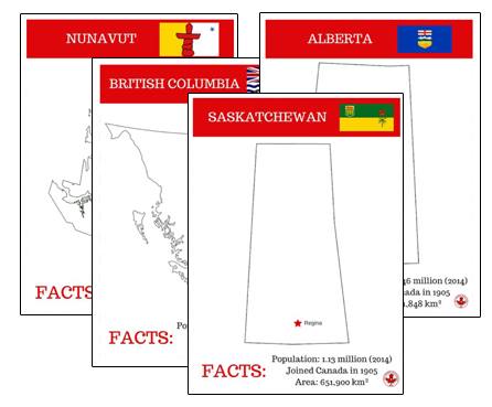
Each card includes:
- the provincial flag
- last documented population
- area of province
- when they joined Canada
- the capital city

YOU MIGHT LIKE THESE POSTS:
12 Great Ways to Learn About Canadian Provinces and Territories
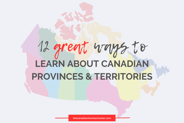
Do you want your kids to learn all about Canadian Provinces and Territories? Here we have rounded up some great Read more
Hands-On Canadian History: When the Provinces and Territories Joined Canada
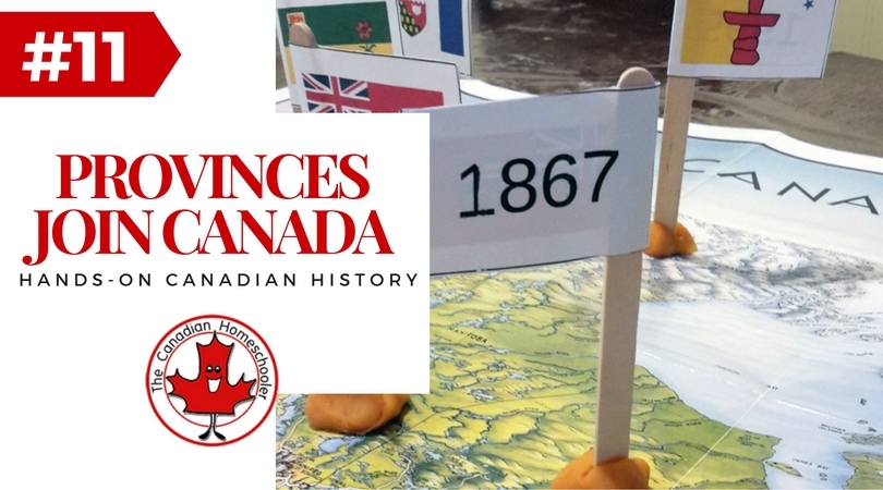
The provinces and territories of Canada have been ever changing since the country first became official in 1867. At first, Read more
How to Teach Canadian Geography in Your Homeschool
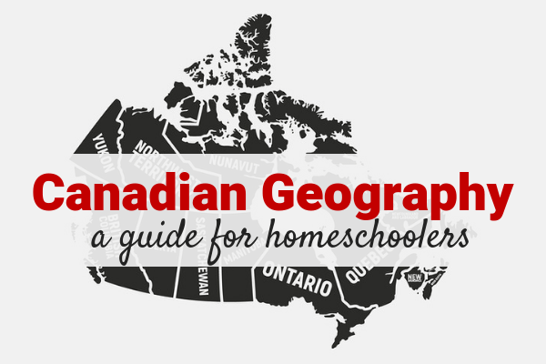
Canada's geography is amazing. We have such a variety in the landscape from the east coast to the west coast Read more
Great Books For Studying Canadian Geography in the Elementary Years
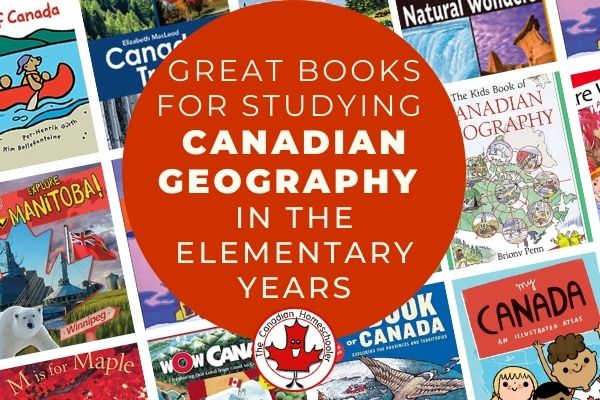
Are you looking for some great books to introduce the geography of Canada or to add onto an existing study? Read more

Owner at The Canadian Homeschooler
Lisa Marie Fletcher is a mom of 5 with 15+ years of homeschooling experience. She started The Canadian Homeschooler in 2010 as a way to support the homeschooling community in Canada.
Latest posts by Lisa Marie Fletcher (see all)
- Homeschool Spelling Essentials: Ways to Make it Engaging (and Canadian!) - October 4, 2024
- 10 Simple Homeschool Organization Tips For Busy Homeschoolers - September 16, 2024
- 5 Ways Homeschoolers Can Enjoy Back to School - September 10, 2024
Thank you Lisa!